Bird watching is without a doubt one of my favorite hobbies. Not many activities come to mind that ground me in the present moment so fully as observing nature, especially when I spot a colorful or rare bird I’ve never seen before. I’ll often find myself gripped with excitement and awe as I try to identify what I am seeing and observe its behaviors and habits, watching sometimes for a long period of time.
Out of all the birds that I know of Hummingbirds have to be my favorite to spot and observe. It’s is quite a treat to have a well-visited feeder and get to see them often. But seeing them in the wild I find is something special and not easy or common.
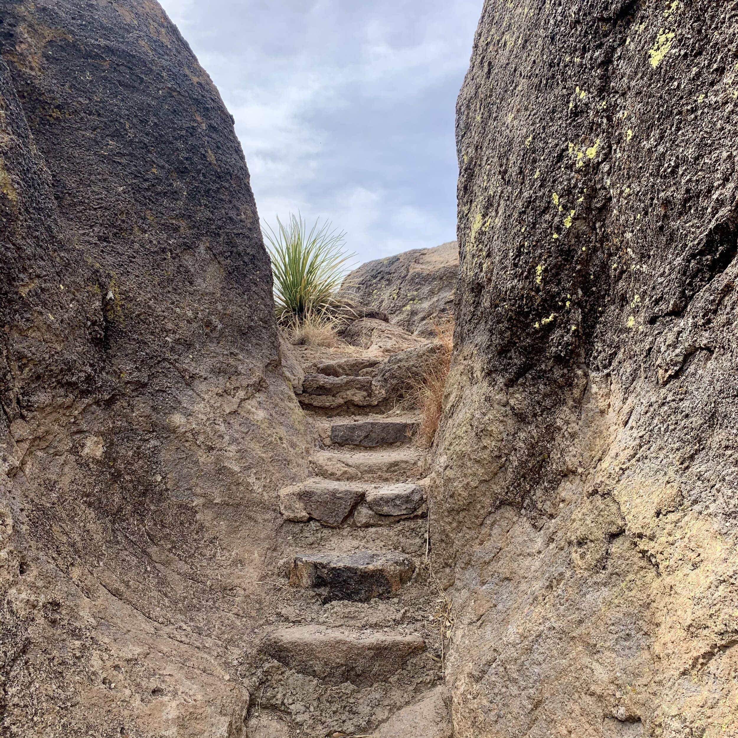
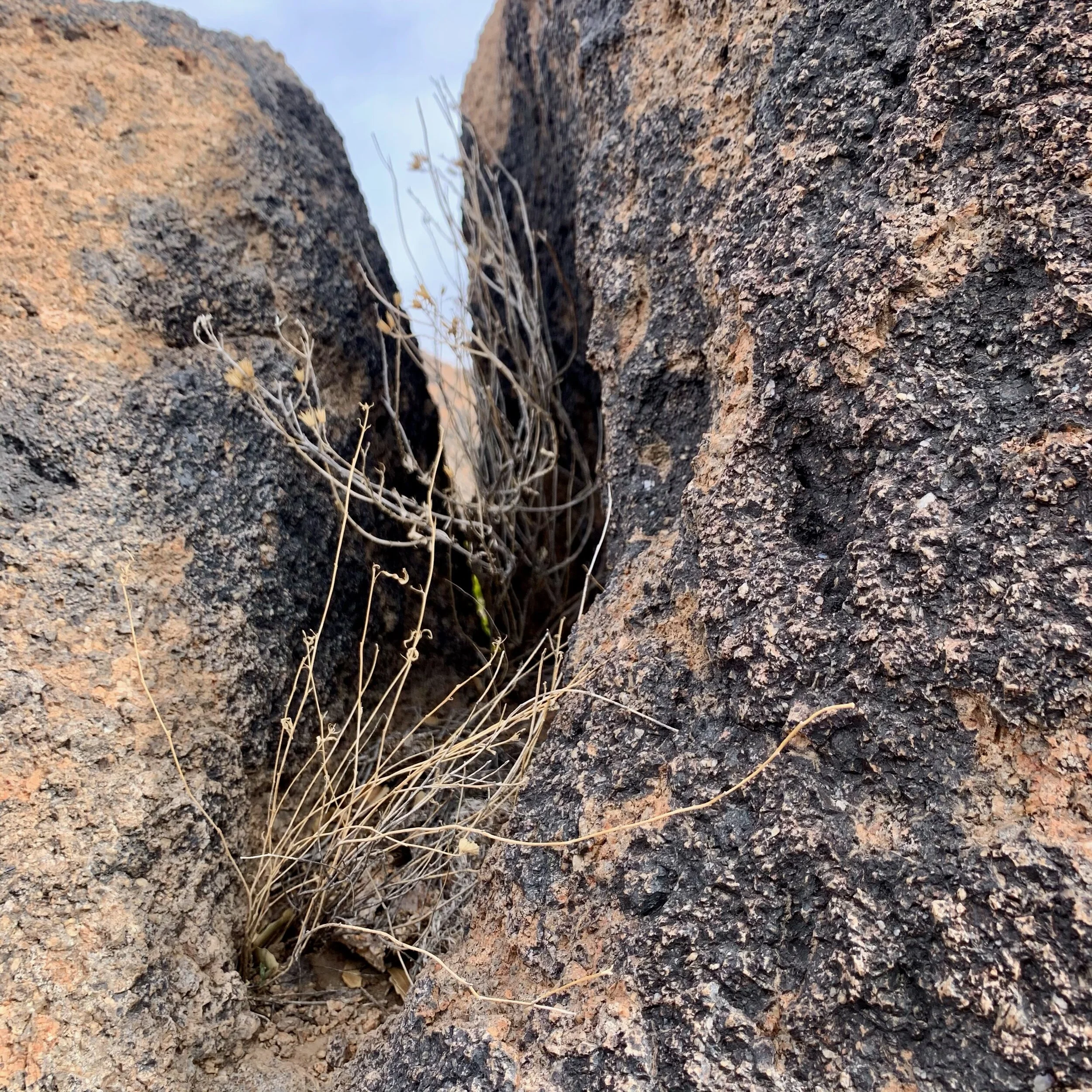
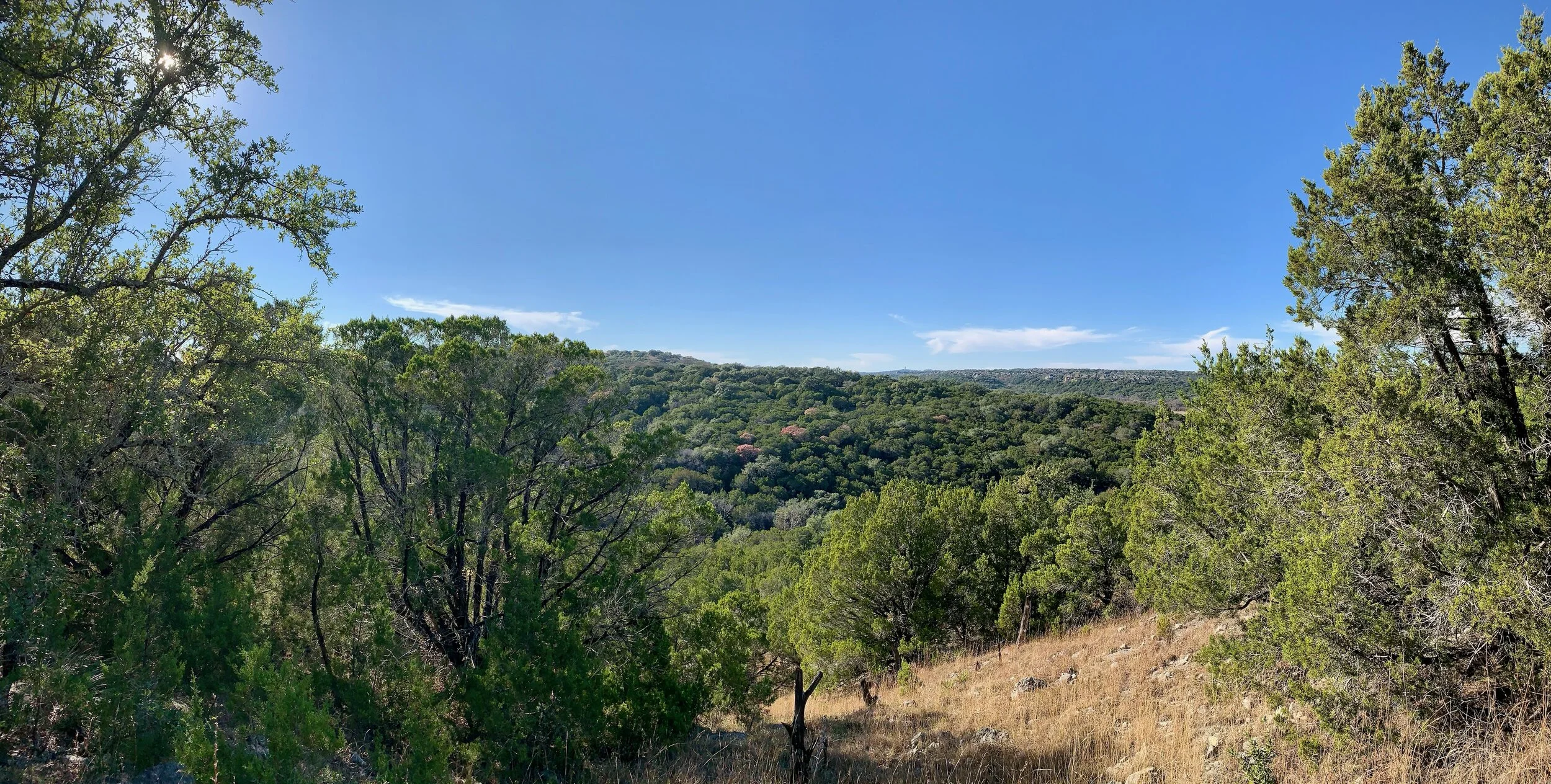
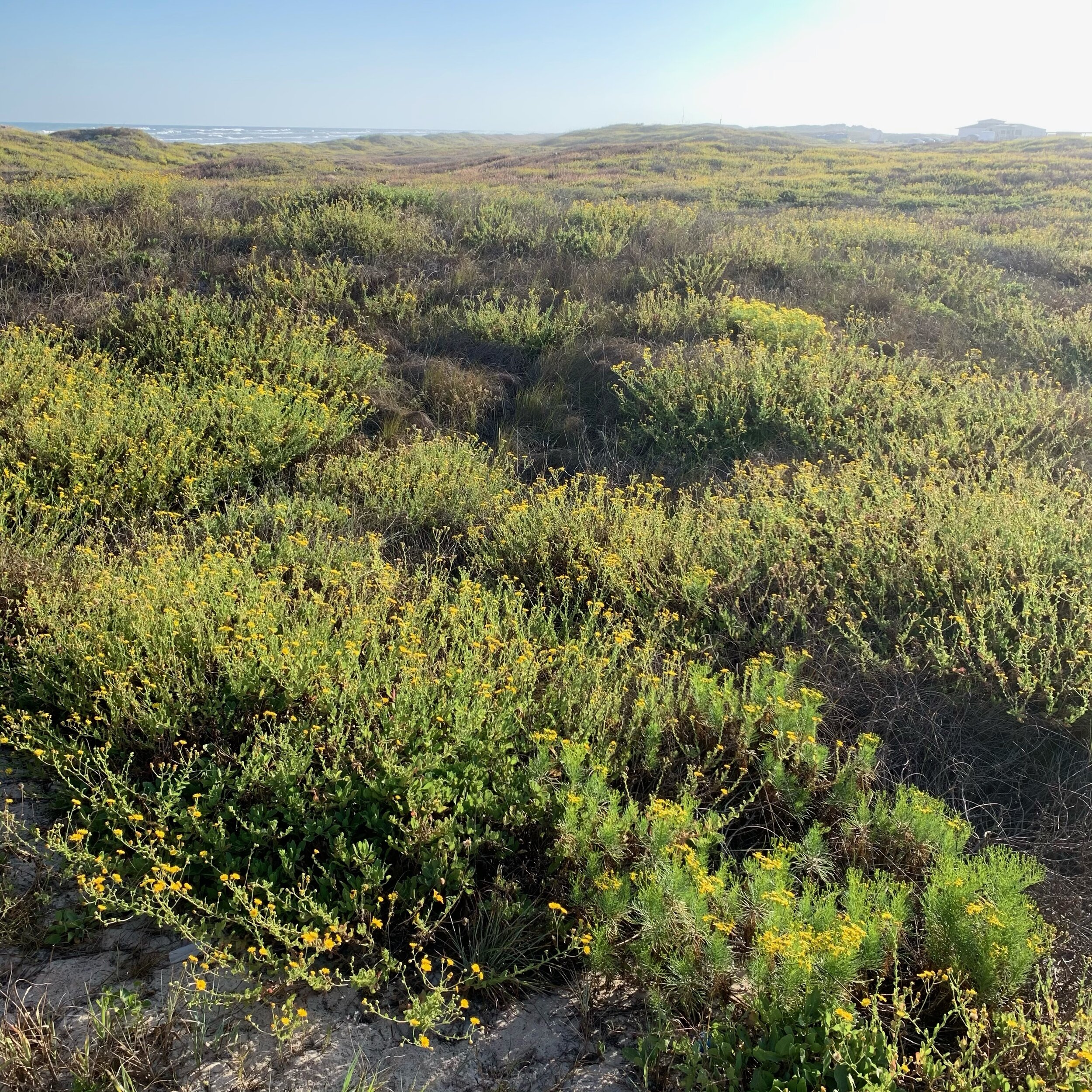
What happened on my hike I still can’t believe. From the trail I could see nearby some small red flowers growing in the crevice of the rocky terrain. I decided to take a closer look and got as close as I could but was not able to span a very deep crevasse that separated the boulder I was on with the flowers.
As soon as I took my last step and came to a stand-still a Black-Chinned Hummingbird flew up to the flower, poked its bill into it, hovered for another few seconds, and then flew off. Wow. What a gift. I could not believe the timing of this event and felt so fortunate and grateful to have witnessed this tiny elusive bird in the wild. It was a 20-second window of time that seems so improbable but for whatever reason it happened and I was there to experience it.
What’s even more jaw-dropping is what I saw over an hour later while slowly approaching another bird I was trying to get close enough to identify, in a completely different part of the trail. I had my binoculars trained on this other bird sitting in a tree, the view was fairly narrow, and possibly this same hummingbird landed on a branch not two feet from the other bird. It sat there for a few seconds and then took off again. What is there to do other than shake your head and wonder if it is not some kind of sign?